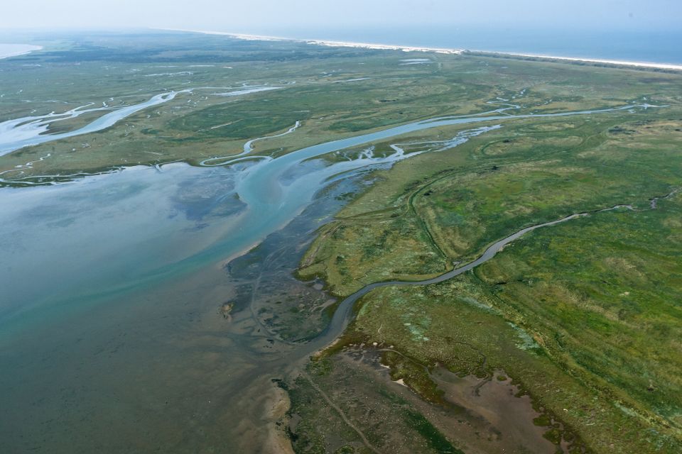
Ice caps were melting, sea levels rising, storms carrying in sand. This is how Terschelling was created after the Ice Age: a chain of shores and dunes connected to the mainland. In 1287 the St Hubertus flood separated Terschelling from the rest of the Netherlands. Low and high tides created a rich feeding ground for the higher area of land behind the dunes. And as the agricultural value of the farmlands and pastures increased, so did the need for protection against the sea. The construction of dikes created the agricultural landscape of Terschelling.

