The first stage of the trail sets off from the village of Lauwersoog and gives you a chance to explore the east shore of the former Lauwerszee estuary as you make your way to the fishing village of Zoutkamp in Groningen.
In the Middle Ages, there were two large monasteries in the Frisian Wadden Sea coastal area: Claercamp monastery near the village of Rinsumageest and the St Bernard abbey in Groningen, which had an outlying estate on the island of Schiermonnikoog. Lay brothers journeyed across the salt marsh ridges and coastal banks, sometimes wading through channels and across submerged mudflats. They were the first people to walk the mudflats!
The Lauwersmeer area, now one of …
The first stage of the trail sets off from the village of Lauwersoog and gives you a chance to explore the east shore of the former Lauwerszee estuary as you make your way to the fishing village of Zoutkamp in Groningen.
In the Middle Ages, there were two large monasteries in the Frisian Wadden Sea coastal area: Claercamp monastery near the village of Rinsumageest and the St Bernard abbey in Groningen, which had an outlying estate on the island of Schiermonnikoog. Lay brothers journeyed across the salt marsh ridges and coastal banks, sometimes wading through channels and across submerged mudflats. They were the first people to walk the mudflats!
The Lauwersmeer area, now one of the most beautiful national parks in the Netherlands, was once a coastal inlet. The Lauwerszee estuary was closed off from the sea in 1969. Today many bird species, including the white-tailed eagle, nest around Lauwersmeer lake. The village of Lauwersoog, which has become the largest fishing port in the Netherlands and is also used by fishermen from Urk, is a great place to eat delicious fish.
At night there is very little light pollution here. So the Ballastplaat tidal flat at Lauwersmeer National Park has been designated a Dark Sky Park. On a clear night, there is a marvellous view of the vast Milky Way!
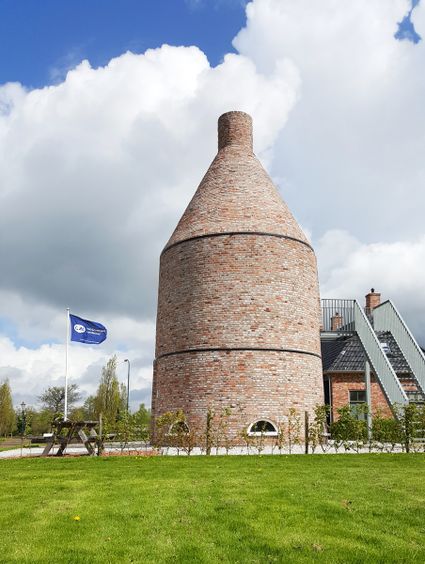
You end up in the former fishing village of Zoutkamp, where there is still a shrimp processing plant. The locals lived off what the sea provided. At Zoutkamp, which means ‘salt camp’, salt was extracted from the salty peat on the seaward side of the dikes, hence the name. The villagers also made lime from shells gathered from the sea. In Hellingstraat street you can see an old lime kiln that has been restored.
This route is part of the Klooster Claercamppad pilgrimage trail.
Waypoint walk 40
Lauwersoog
Navigate to starting point
Lauwersoog
Navigate to starting point
Hier kunnen bezoekers terecht voor toeristische informatie over de het gebied rond Lauwersoog en informatie over de bouw van het Werelderfgoedcentrum.
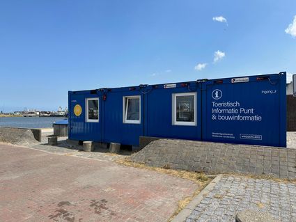

Haven 1
9976 VN Lauwersoog
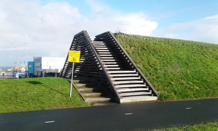
Deze dijk is een primaire zee-kering. Daarom is de dijk ook zo hoog. De zeehaven ligt in buitendijks gebied, bij stormtij loopt de kade onder. De binnenkant wordt door de dijk beschermd.
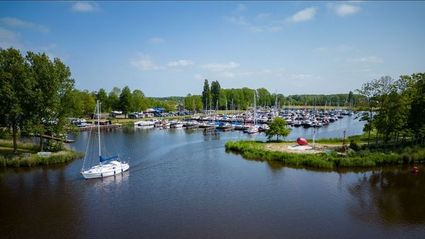
Haven Hunzegat bij Zoutkamp; de uitvalsbasis aan het Lauwersmeer. Kom tot rust in deze prachtige haven en verken de vaarwegen van het Hogeland.
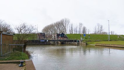
Tot 1969 was hier op de dijk bij de Hunsingosluis de Lauwerszee te zien. Op 23 mei 1969 werd de Lauwerszee afgesloten en vanaf dat moment heette de zee het Lauwersmeer.
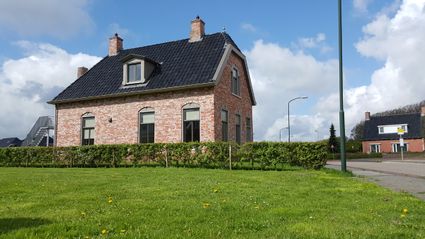
Achter dit “Vissers”huis schuilt een verhaal. Het stond vroeger aan de Spuistraat in Zoutkamp, maar werd in de jaren 60 afgebroken om herbouwd te worden in het Zuiderzeemuseum in Enkhuizen.
Aan de Hellingstraat staat een replica van een kalkoven. In 2015 gebouwd door de Stichting Historische Visserij Zoutkamp door mensen uit het reïntegratietraject.
Waypoint walk 70
Zoutkamp
Navigate to endpoint
Zoutkamp
Navigate to endpoint