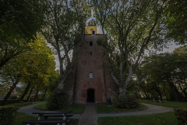
A glance at the map reveals something peculiar about the roads and villages in North Groningen. They are aligned like the scales of a pine cone. These crescent-shaped formations touch at their ends. The sea waves left their marks on the clay and mud land of Groningen. Behind the salt marsh ridge where Vierhuizen and Ulrum are situated, a new elevated area gradually formed, the salt marsh ridge of Hornhuizen, Kruisweg, and Kloosterburen. Pieterburen is even younger.
