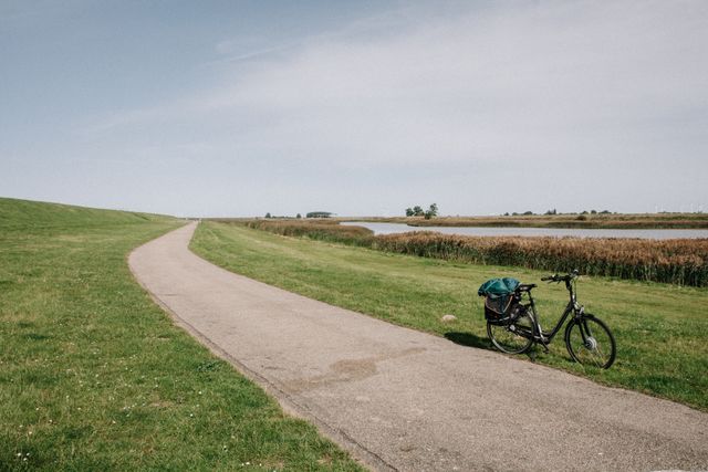
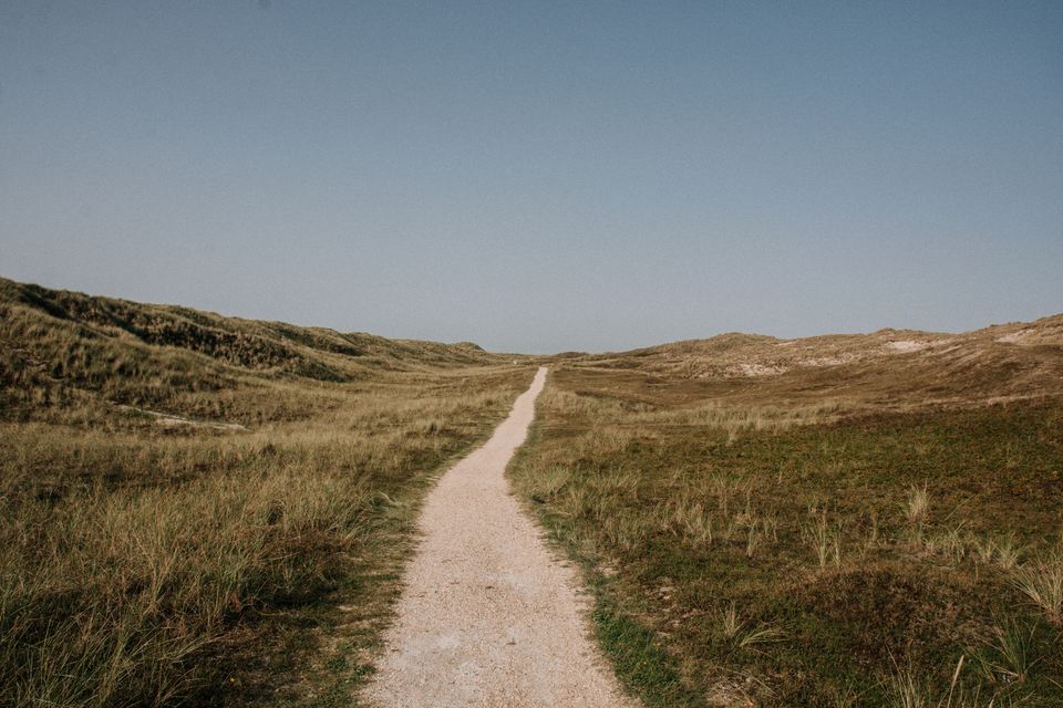
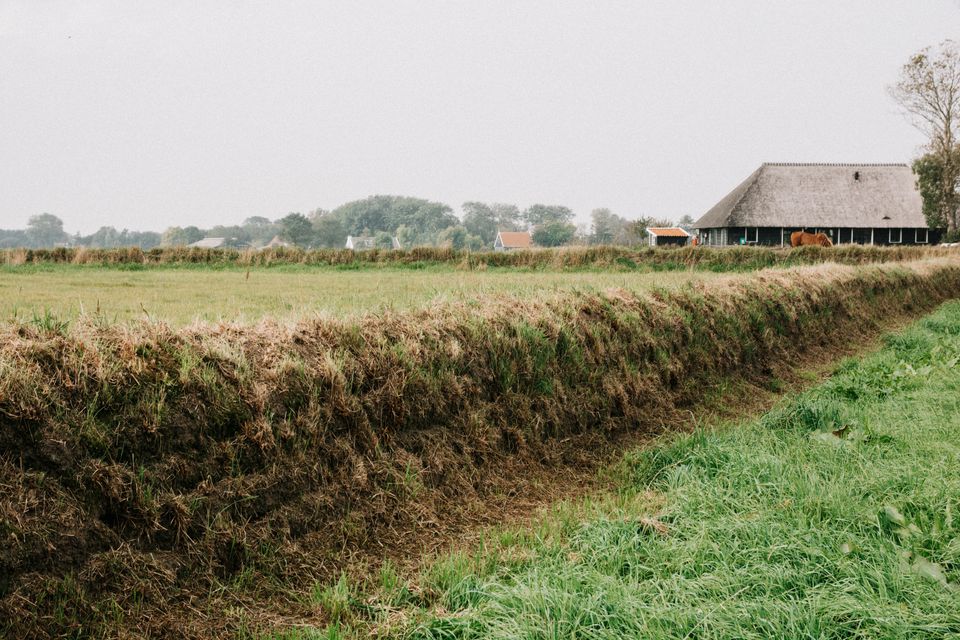
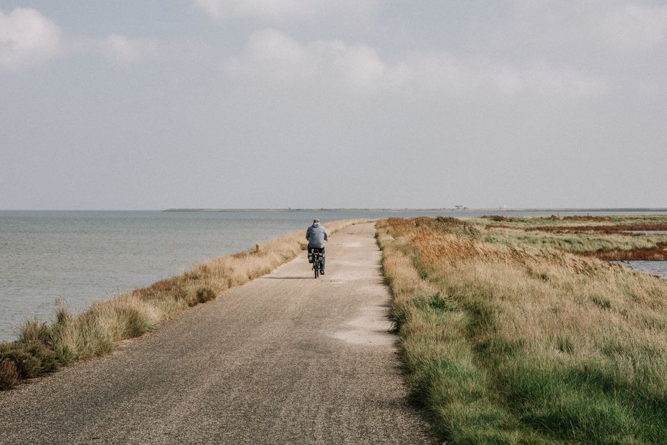
''This landscape remains green even in autumn''
Along the Dutch coast runs a 721 km long hiking trail: the Dutch Coastal Path. This route is part of the European coastal route E9, which extends to a length of 5000 kilometers. Fortunately, you can also get a taste of these long-distance hikes in just three days. I walked the Coastal Path from Den Helder via Callantsoog to Den Oever in three days.
Reading time: approximately 20 minutes
Day 1: From Den Helder to Groote Keeten
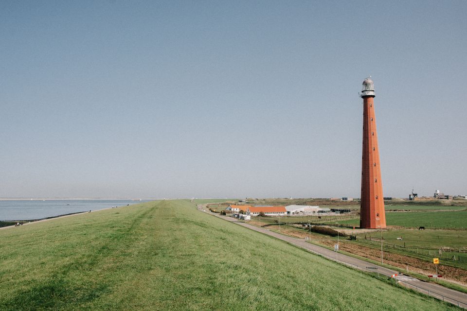
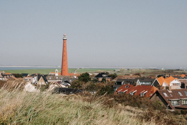
I begin my three-day hike at Den Helder station. With a symphony of roaring engines in the background, I walk to the dike, where the sounds dissolve into a sea of space. Waves gently lap against the basalt blocks, and seagulls circle high in the clear blue sky. The Lange Jaap, the tallest lighthouse in Europe, stands proudly above the dike.
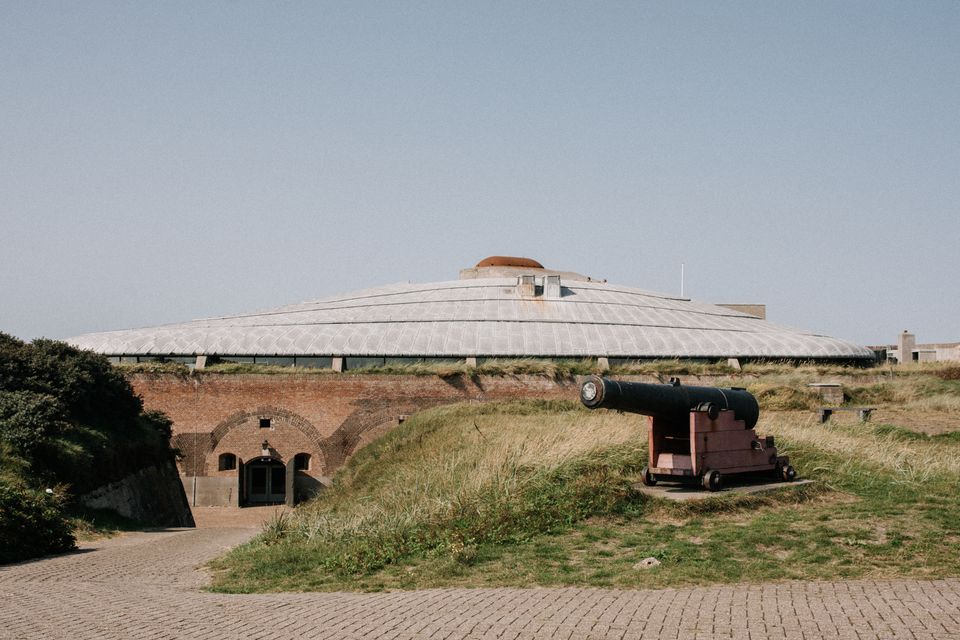
Beyond the lighthouse lies Fort Kijkduin, a Napoleonic fort now housing a museum and a sea aquarium. Inside the fort, you can explore the history of the fort and Den Helder. The museum features fossils, and more recently discovered wine bottles and jars from the year 1800. Scale models of military vehicles and old news reports provide insights into the fort’s wartime past.
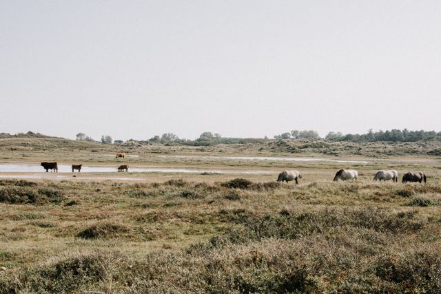
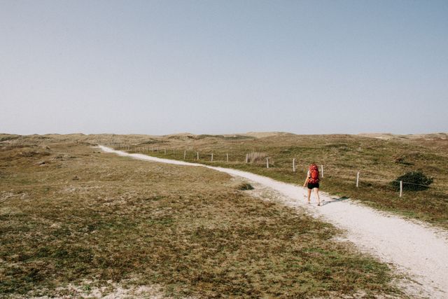
Beyond the fort, the dune area begins. Highland Cattle and Konik horses bathe in the shallow waters of the dune valleys. Kilometers of Coastal Path meander through the dunes, where various grasses, shrubs, and pine trees alternate. Here in the dunes, you can temporarily delay your winter blues, as this landscape remains green even in autumn. On the other side of the dunes lies a stretch of empty beach, perfect for walking along the waterline. Seagulls waddle slowly aside as I pass by and take flight in surprise when a joyful dog leaps into the waves from the beach access.
Day 2: From Groote Keeten to Van Ewijcksluis
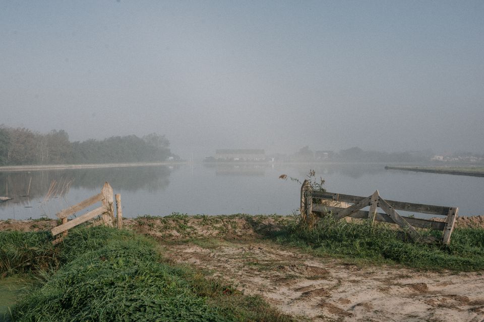
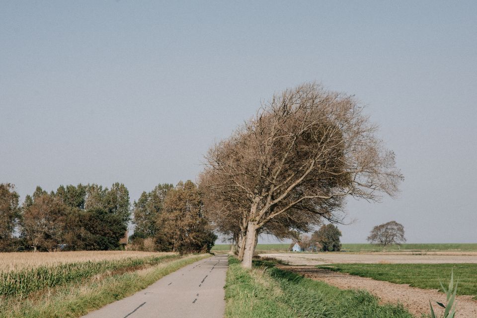
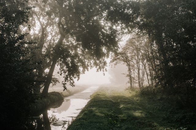
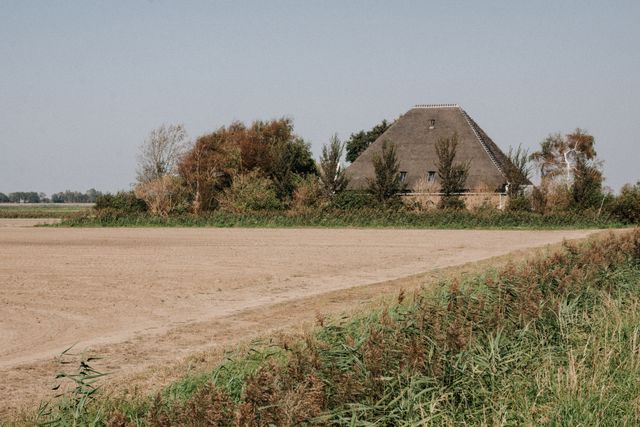
On the second day, I see nothing but mist, roads, and field edges. After an hour of walking, the sun breaks through the clouds, and the mist disappears within minutes. I see vast fields, some completely underwater. This flooding helps kill all the pests in the soil before new crops are planted. Birds love this shallow water, rich in nutrients from the soil and small creatures. The fields are dotted with farms featuring pyramid-shaped thatched roofs. These stolp farms are typical of North Holland. The triangular shape of the roof provided ample storage space for all the crops harvested from the fertile fields.
After a few kilometers along a sea dike, I enter the village of ’t Zand via a floating bridge. In the past, the bridge was made of wooden rafts tied together. The middle rafts were pulled under the slanted rafts at the quay to allow boats to pass through. The rafts have since been replaced with sturdier materials, but the current bridge still functions in the same way.
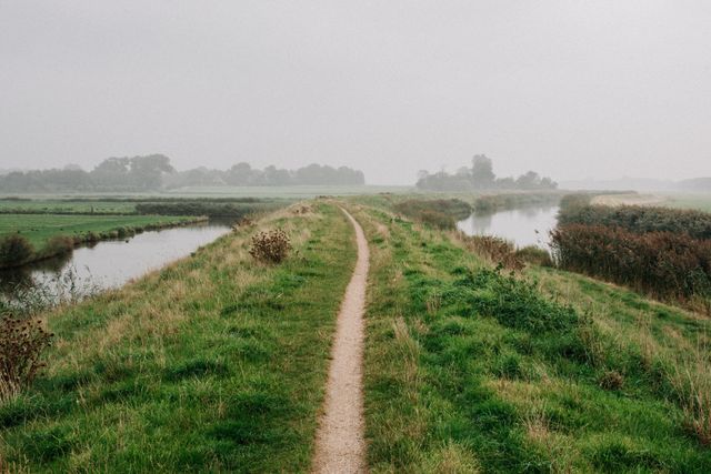
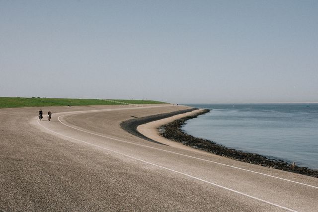
Along the Zijperdijk, I walk to the next village. On both sides of the dike, fields stretch as far as the eye can see, but it was quite different until 1845. Less than two hundred years ago, you would have looked out from the dike over the sea and the island of Wieringen. As I walk through the fields, I pass the 370-year-old sluice in the village of Oudesluis and the Kleine Sluis in Anna Paulowna. I enjoy a well-deserved break at a café before walking another five kilometers through expansive landscapes. With eighteen kilometers in my legs, I reach my hotel in Van Ewijcksluis. With a well-filled plate of food, I look out over the water. Birds float calmly in the rippling water, while the sky turns deeper shades of pink and orange. A new moon hangs in the sky, and the stars are clearly visible in the clear night sky.
Day 3: From Van Ewijcksluis to Den Oever
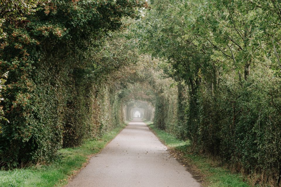
From Van Ewijcksluis, I walk eight kilometers along the dike beside the Amstelmeer. On the left, a vast water expanse teems with birds, while on the right, a long row of autumn-colored trees lines the path. At the village of De Haukes, I leave the Amstelmeer behind and continue along a dike onto the former island of Wieringen. During the last ice age, a moraine formed here, creating an island. Viking silver treasures from the ninth century have been found in the soil, indicating that Wieringen was already inhabited then. Since 1924, Wieringen has no longer been an island, but it still retains an island feel. The houses have light yellow stone walls, thatched roofs, and ornate woodwork on the eaves. Roads bordered by large hedges, reminiscent of those in England, connect the villages.
In Stroe, an older man with a long gray beard is leading his horse out. He chats with his neighbor, who is clad in a large blue overall, in a local accent. They address me and give me a rapid-fire history lesson. It seems that time has stood still here over the past century. I have little trouble imagining these two men with their windswept hair as if they were a hundred years back on the village street.
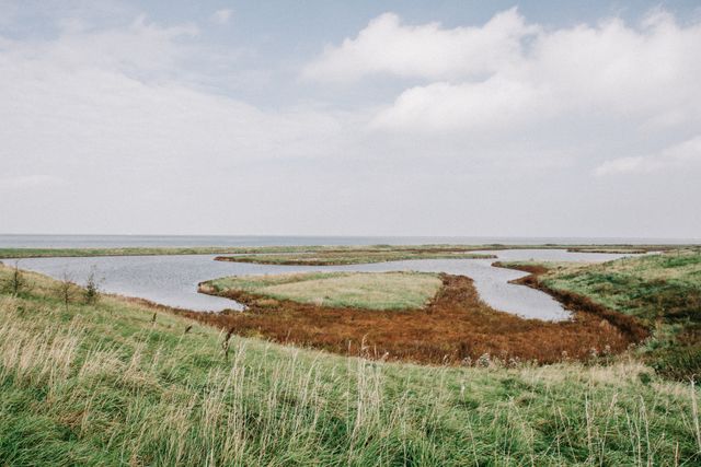
I walk the final kilometers along the sea dike. At Vatrop, there's a nature reserve with brackish pools and tall grass. During high tide, wading birds from the other side of the dike come here to wait for the tide to go out. Oystercatchers probe the ground with their long beaks, and ducks nap with their heads tucked under their feathers. On the other side of the dike, there's a bustling scene. Small birds scurry along the waterline in pursuit of each other, and hundreds of gulls float on the sea. At Den Oever, I leave the birds behind and cross the harbor to my car. My three days of hiking have come to an end.
Tips and other lists
Here are a few handy tips for the journey
- Buy the route guide 'Dutch Coastal Path Part 2' by Wandelnet and Nivon. The mini-trek is detailed on maps V1 to V4 and maps 49 to 49. This way, you can see exactly how the route goes, how far you still need to walk, and what you can see along the way at any time.
- Park your car at the bus station in Den Oever. Take the bus to Den Helder and walk back to your car along the route from there.
- Take regular breaks along the way and enjoy the view
- Wear multiple (thin) layers of clothing to avoid getting too cold or too warm. Put on all your layers during breaks to prevent cooling down
- Put your phone in airplane mode and enjoy three days of offline peace
- Bring a resealable freezer bag with you
Don’t forget this on your mini trek!
- Sturdy hiking shoes that are well broken-in.
- Breathable rain gear, and possibly a hat, scarf, and gloves.
- Sufficient food and drink for the journey.
- Blister plasters and an extra pair of dry socks.
- Binoculars and possibly a bird guide.
- A public transport card (OV-chipkaart) for traveling between Den Oever and Den Helder.
Assemble your own picnic basket along the way
Along the route, locals sell their homegrown or homemade products, allowing you to gather your own meal as you go.
- Zorgboerderij Blij Op De Boerderij sells dairy, plants, and local products
Keinsmerweg 88a in ’t Zand - De Hobbyroker in Oudesluis smokes and sells fish.
Sportlaan 33 in Oudesluis - ’T Kippenhuys sells eggs.
Oude Sluizerweg 5 in Wieringerwaard (near Oudesluis) - Just before Oudesluis, you'll pass several flower bulb farms selling bulbs
- Peters Piepers offers potatoes from their own fields.
Kneesweg 17 in Anna Paulowna - De Wieringer Vishandel sells fresh fish.
Bijldwarsstraat 4 inHippolytushoef - A herbal tea stand in Den Oever offers over 130 tea flavors.
Gesterweg 4 in Den Oever - Viscentre ’T Wad and Harm Kay sell smoked eel.
Haventerrein 4 and Havenweg 12 in Den Oever
(Note: Some of these locations may require you to deviate slightly from the Coastal Path, and some stalls are seasonal)
Read more? - Also discover Paulien's adventures in Friesland and Groningen
-
On roadtrip in Friesland
On roadtrip in Friesland
-
On a Mini Cycling Vacation in East Groningen
On a Mini Cycling Vacation in East Groningen
