The Wadden area’s most breathtaking routes
-
Routes

Bicycling, walking, boating or driving; choose your mode of transportation and start exploring the Wadden area. We’ve collected the most stunning routes for you on this page. Venture out and enjoy the amazing beauty that makes this area so special. No two days are ever alike in the Wadden Sea UNESCO World Heritage Site.
1 to 24 of 36 results
-
Cycle route Lauwersmeer
Cycle route Lauwersmeer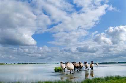 (43.9 km)
This bike track takes you through the unique and beautiful landscape of National Park Lauwersmeer.
-
Rondje Schier
Rondje Schier (13.1 km)
A various bikeride through the asthonishing landscapes of Schiermonnikoog. During the ride you will see the nice village, a part of the woods aswel...
-
Rondje Vlieland met Uitkijkposten
Rondje Vlieland met Uitkijkposten (23.6 km)
While biking around the island, feel the salted air through your hair and look out over the Northsea.
-
Ontdek Natuurlijk Schiermonnikoog
Ontdek Natuurlijk Schiermonnikoog (18.2 km)
This bike-tour is an introduction to the unique nature of Schiermonnikoog.The various sides of nature is worth a visit. From mud flats, till wide b...
-
Boswachterspad Posthuiswad - Kroon's Polder
Boswachterspad Posthuiswad - Kroon's Polder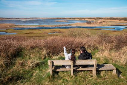 (7.4 km)
This hike will lead you throug Kroon's reclaimed land and the foresterspath, discover the smell, colors and sounds of this Island.
-
Wandelroute Nationaal Park Schiermonnikoog
Wandelroute Nationaal Park Schiermonnikoog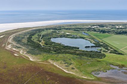 (11.3 km)
On Schiermonnikoog you will find the most natural shaped areas. This hike will show you the dynamic landscapes caused by nature.
-
Langs Wad en Noordzee
Langs Wad en Noordzee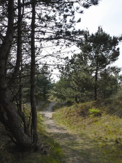 (24.7 km)
This bikeride brings you to the eastern part of Vlieland; aswell the Northsea as the Wadden Sea will show their various sights, vegetation and wide...
-
Terschelling Boschplaat
Terschelling Boschplaat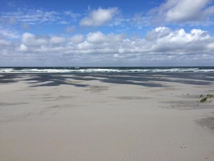 (700 m)
The Boschplaat on Terschelling is one of the few places ware rough nature in the Netherlands is at its best. About al bird species can be spotted i...
-
'T Oerd
'T Oerd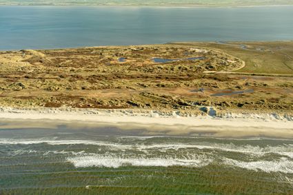 (12 km)
This large area with lots of birds and the highest dune, rare vegetation and butterflies is worht to visit. As well per bike as walking.
-
Napoleonroute
Napoleonroute (11.8 km)
 -
Tocht rond de Dollard langs de Werelderfgoed Waddenzee
Tocht rond de Dollard langs de Werelderfgoed Waddenzee (71.2 km)
 -
Alde Lunen
Alde Lunen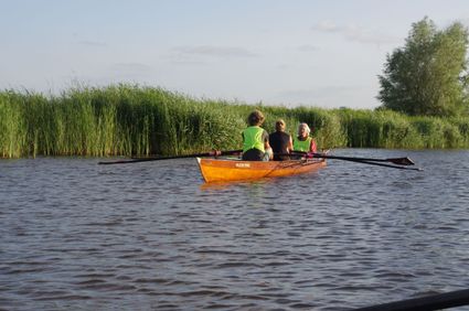 (8 km)
Just north of Kollum, this delightful canoe route travels through the edges of the Lauwersmeer National Park. The route takes you along Kollumeroud...
-
Termunterzijl
Termunterzijl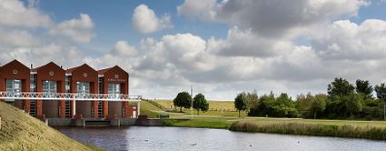 (14.8 km)
 -
Polder Pracht
Polder Pracht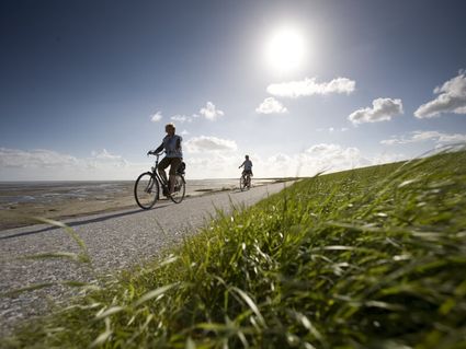 (25.6 km)
At the Terschellinger polder you will find lots of Birds. Especially in the months of April, May and June wenn all flowers come to bloom. Then you...
-
Wandelroute Noordpolderzijl kwelders
Wandelroute Noordpolderzijl kwelders (900 m)
 -
Boswachterspad Hollumerduinen en Lange Duinen
Boswachterspad Hollumerduinen en Lange Duinen (8.3 km)
The sandy dunes, the wet valleys and the wide beaches, are all part of this rangerpath at the Hollumerdunes at Ameland. Explore the birds that live...
-
Boswachterspad Noordsvaarder
Boswachterspad Noordsvaarder (11 km)
Mount the dunes from Terschelling and discover the dynamic nature during this tough wal over this Wadisland.
-
Wandelroute Westpolder kwelders
Wandelroute Westpolder kwelders
Breeding season: not accessible
(4.2 km) -
Terpenlandroute
Terpenlandroute (43.8 km)
 -
De Hors
De Hors (5.9 km)
 -
Bildtstars and Eigenheimers
Bildtstars and Eigenheimers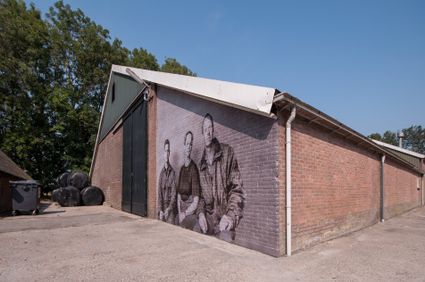 (53.4 km)
In 2018 the photo project ‘Bildtstars and Eigenheimers’ kicked off with ten giant portraits of local potato farmers along the Wadden Sea coast of N...
-
Pieterburen
Pieterburen (47.7 km)
 -
FROM HISTORICAL TERP TO TERP OF THE FUTURE
FROM HISTORICAL TERP TO TERP OF THE FUTURE (12.5 km)
A route through the history of Hegebeintum and Blije!
-
Wandelroute Westpolder kwelders
Wandelroute Westpolder kwelders (3.2 km)
- Current page1
- Go to page2
- Go to the next page